A colleague used the cool free map tools from
Amcharts to create a visited countries map. My own visited countries map as of August 2016 is below:
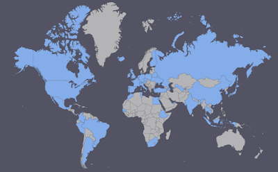 |
| Map created using Amcharts Visited Countries Map tool. |
I still have some gaps around the world, particularly in Africa, the Pacific Islands, Southern Europe and Nordic Europe.
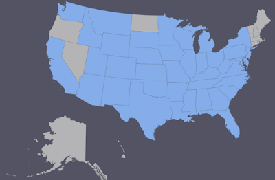 |
| Map created using Amcharts Visited States Map. |
The Visited States Map shows I have some gaps on the Pacific Coast, Northeast, and North Dakota. We're hoping for a Hawaii trip next Spring.


No comments:
Post a Comment
Note: Only a member of this blog may post a comment.